ITINERARY
Day 01: Arrive in Paro
After arrival you will be meet by our representative and transfer to hotel.
Day 02: Sightseeing in Paro
After breakfast visit the National Museum (Taa Dzong), Paro Rimpung Dzong, Kyichu Temple, and other places of interest. Overnight at hotel.
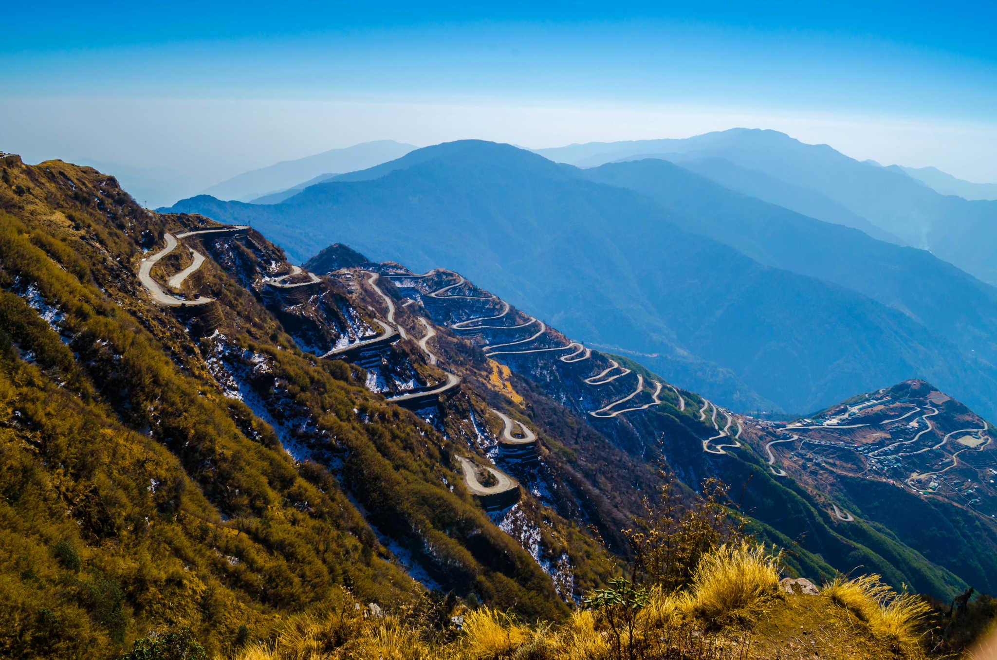
Day 03: Paro Shana Zampa -17Kms, 5-6 hours
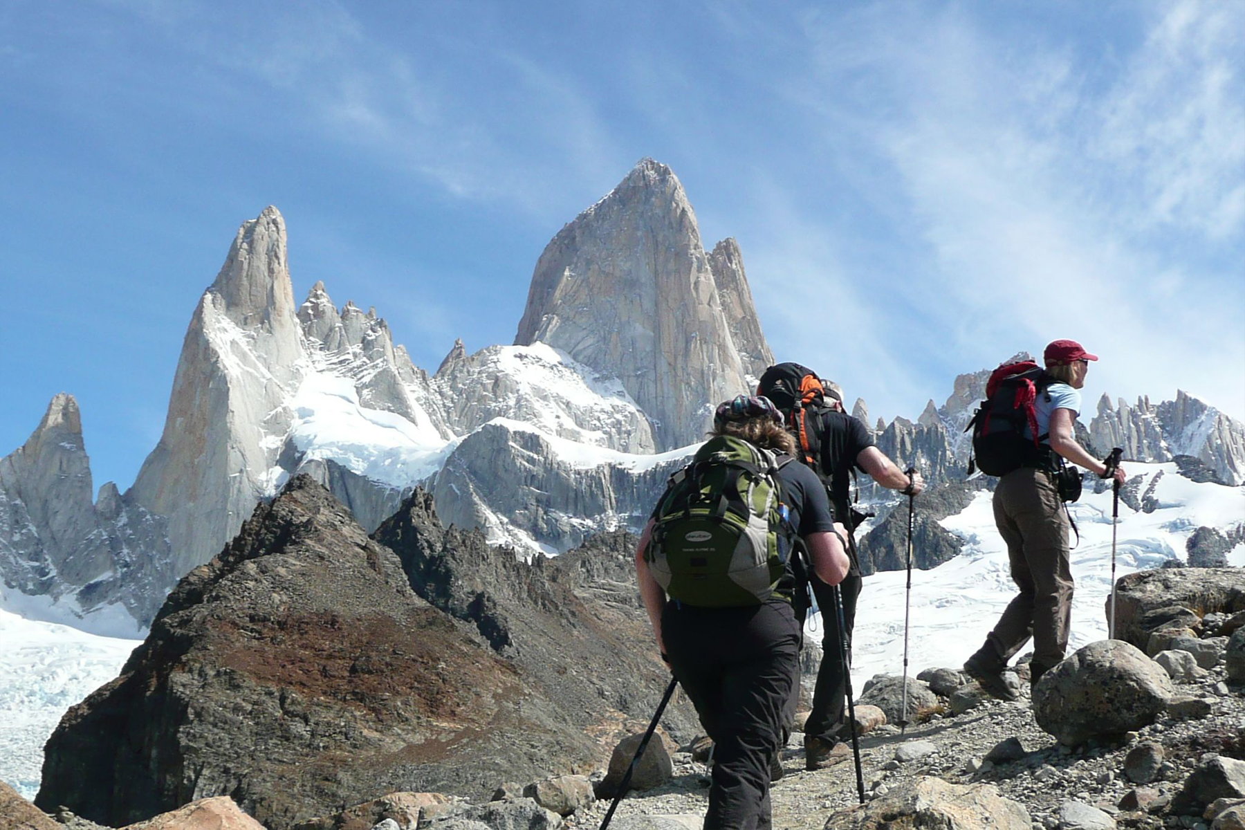
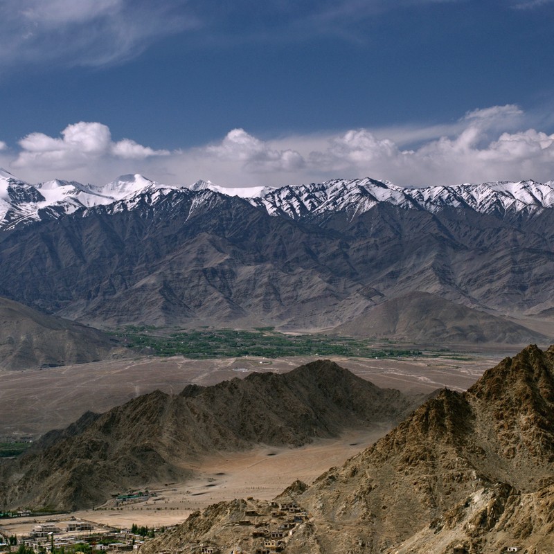
After early breakfast we will drive to the ruins of Drukgyal Dzong (2,580m / 8,591 ft) 16 Kms from Paro town. Explore the ramparts, village and on a clear day experience the spectacular view of Mt. Chomolhari (7,314 m / 23990ft). The trek starts from here,Overnight camp will be at Shana Zampa, Alt 2,870 m /9,557 ft, Overnight at camp.
Day 04: Shana Zampa - Thangthangkha, 22 Kms, 6-7 hours
The trail continues its gradual climb alongside the Paro Chhu through conifers and rhododendron entering into Jigme Dorji National Park. Your camp for tonight will be at Thangthangkha, elevation 3,630 m /12,088 ft.
Day 05: Thangthangkha – Jangothang, 5-6 hours
This is not a long day, but there is 450 m /1,498 ft elevation gain, and you will be comfortably worn out when you reach camp. Your camp will be at Jangothang, Chomolhari base camp, alt. 4,090 m /13,415 ft.
Day 06: Jangothang
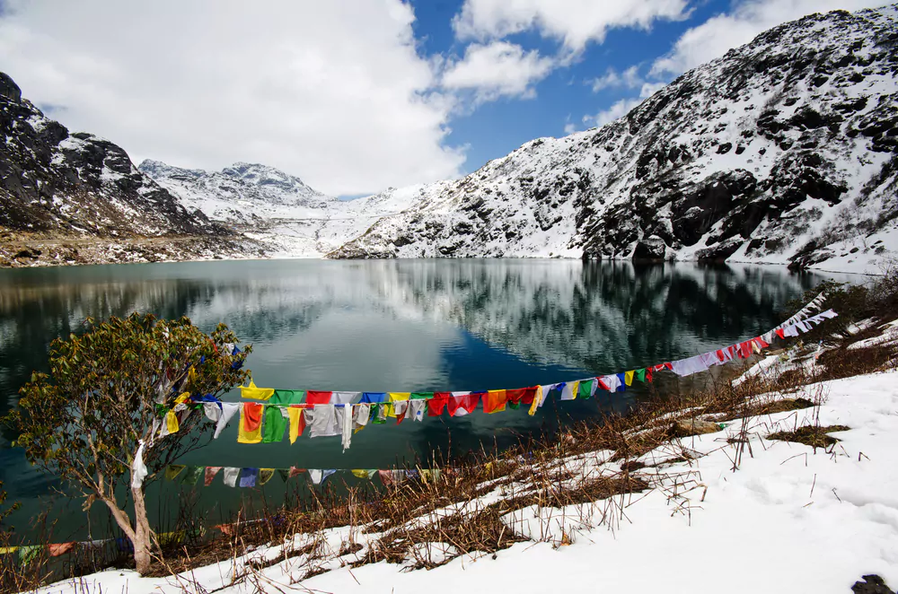
A day halt & exploration in Jangothang.Trek up to Tsophu Lake for trout fishing or there is stupendous day-hike in three directions-Chomolhari and its subsidiary is directly west, Jichu Drake to the north, un-climbed summits and ridges to the east.
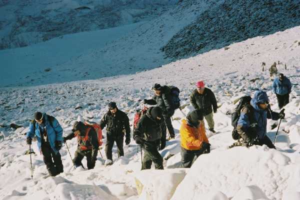
Day 07 : Jangothang – Lingshi, 18 Kms, 5-6 hours
Wide Yak pastures on the way up and down the pass, great views of Lingshi Dzong as you come down into the Lingshi basin. If the weather is clear Mt. Tserim Gang (6789m / 22268ft) and it's descending glaciers at the north end of the valley can be vividly seen. Today, the highest point you will be crossing is the Nyile La Pass, alt. 4890m/16050ft). The camp is at 4010 m / 13,153 ft, near a large stone community hall that is used by both Bhutanese travelers and trekking groups.
Day 08 : Lingshi – Chebisa, 10 Kms, 5-6 hrs
Cross the stream below the camp on a wooden bridge and climb up the opposite side to a Chorten just below Lingshi Dzong. In the valley to the east is a cluster of wood shingled houses which is one part of Lingshi village. If you look back at Mt. Tserim Kang you can see a very distinct rock pinnacle sticking up at the end of the east ridge. The climb is gradual and easy. The camp site is on a meadow just opposite the Chebisa village (3880 m /12,920 ft.).
Day 09 : Chebisa - Shomuthang, 17 Kms, 6-7 hrs
The walk is through wild high pastures with few nomads and yaks. Cross Gobula Pass (4440m / 14564ft). The camp will be at a yak pasture, alt 4260 m /13973ft.
Day 10 : Shomuthang – Robmuthang, 18 Kms, 6-7 hrs
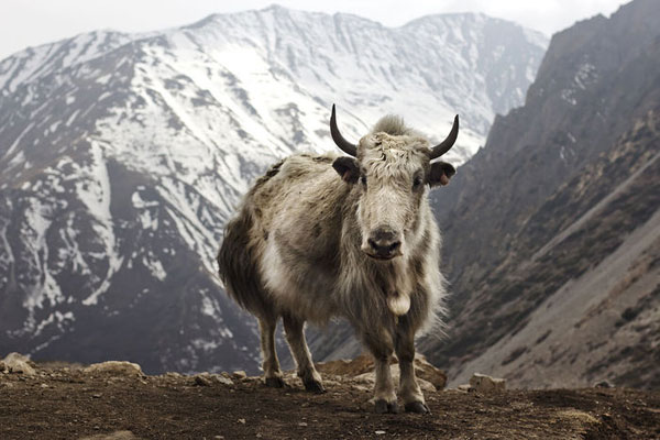
The trail climbs from the camp up the valley, the white flowers are edelweiss and the snow peak visible to the south-east is Kang Bum (6526 m / 21,731 ft). The trail climbs out of the valley through pretty desolate country up to Jhari La (4747 m /15,807 ft), about two hours from camp. During clear weather you will also see the Mt. Gangchentag, Mt. Tserim Kang and Chomolhari. Normally you will witness herds of Takin grazing on the slopes of the nearby hills. You will be camped in a rocky meadow named Robluthang at 4160m/13,645ft.
Day 11 : Robluthang - Limithang, 19Kms, 6-7 hrs
This is a long, hard day, crossing Sinchu La, the highest pass on the trek. It's a tough climb from here to the Sinchu La Pass (5005m / 16,417ft), about five hours from camp. The snow covered peak of Gangchentag fills the horizon to the north. It's then a short walk on a good trail through a cedar forest interspersed with small meadows to Limithang (4140m /13,786ft), a lovely camp site in a big meadow by the river. The peak of Gangchentag towers over the campsite, even though it's quite a distance away.
Day 12 : Limithang – Laya , 10 Kms, 4-5 hrs
Today its mostly downhill along a winding river, the trail splits, one going down with the river to the camp site used by the army. The other stays high and takes you into the West Side of Laya Village. We will camp on a high flat bench above the East End of the Laya village (3800m/12464ft).
Day 13 : Laya – Koina, 19 Kms, 6-7 hrs
Below the village the trail drops back to the river and continues to Koina (3050m / 10,004ft), a muddy bog in the forest by the bridge. There is a single stone house with some muddy camping places scattered around.
Day 14 : Koina – Gasa Tsachu (Tsachu-hot spring), 14 Kms, 6-7 hrs
You may think that because you are headed downstream this trek is finished, but there's another major ascent to Bari La at 3900m /12,987ft. Leaving behind the white Gasa Dzong you will reach Gasa Tsachu (hot spring at 2240m /7,459ft), your night halt for today will be here.
Day 15 : Gasa Tsachu
Halt at Gasa TsachuToday you can laze around the nature made Jacuzzi. The hot springs are by the bank of the stream, below the hotel complex. There are five cement pools and a shower room, with more under construction. The water temperature is 40 degree centigrade, which is comfortably warm, but not scalding. The Jigme Dorji National Park administers the hot spring complex.
Day 16 : Gasa - Damji, 18 Kms, 5-6 hrs
After the climb away from Gasa Tsachu the trail winds through rolling hillsides passing through fields, villages, Oak and pine forests. Gasa Dzong will be visible behind our trail, glued to the valley wall, seeming to float in space. Overnight at Camp. 2380m / 7807ft.
Day 17 : Damji – Tashithang – Punakha (16 Kms of trek and one hour drive to Punakha)
After a long descent you will cross a wooden bridge over a side stream at 1960m /6527ft. The trail now makes small ups and downs close to the river, passing a big cave under a rock. You may encounter rhesus monkey playing alongside the river. The main valley is still very closed in with sub-tropical vegetation such as wild banana trees, creepers and orchids. After a short walk to forestry office of Tashithang you will meet with your vehicle, which will drive you down south for an hour and will be in your hotel at Punakha.
Day 18 : Punakha-Thimphu ( Capital city), apprx. 68 Kms, two and half hour drive.
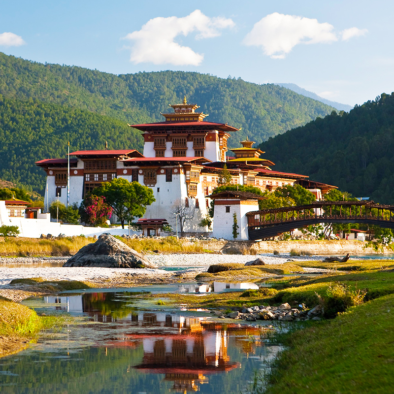
After breakfast we will visit the Punakha Dzong ( at 1350m / 4495ft ), resume your drive to Mesina, hike to the small Chimi Lhakhang (Temple). Return to your car and continue your drive to Thimphu. Stop at Dochula Pass 3050m/10004ft. From here you get a panoramic view of the snow capped peaks of Bhutan during a clear weather. Continue your drive downhill until you reach at Simtokha. Visit the Simtokha Dzong, next you will stop at Lungtenzampa, Royal silversmith and Bhutanese traditional paper factory. Drive to Hotel.
Day 19 : Sightseeing in Thimphu
Thimphu SightseeingAfter breakfast National Memorial Chorten, the Dupthop Lhakhang ( Monastery for the nuns), National Library, painting school and other places of interest in the valley. Overnight at Hotel.
Day 20 : Thimphu-Paro
Two hours of driving will take us to Paro from where we will start our excursion to view the spectacular Taktsang monastery (Tiger's lair). Overnight at hotel.
Day 21 : Departure
After breakfast, drop to paro airport for your final destination.