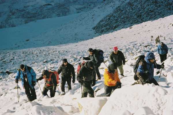
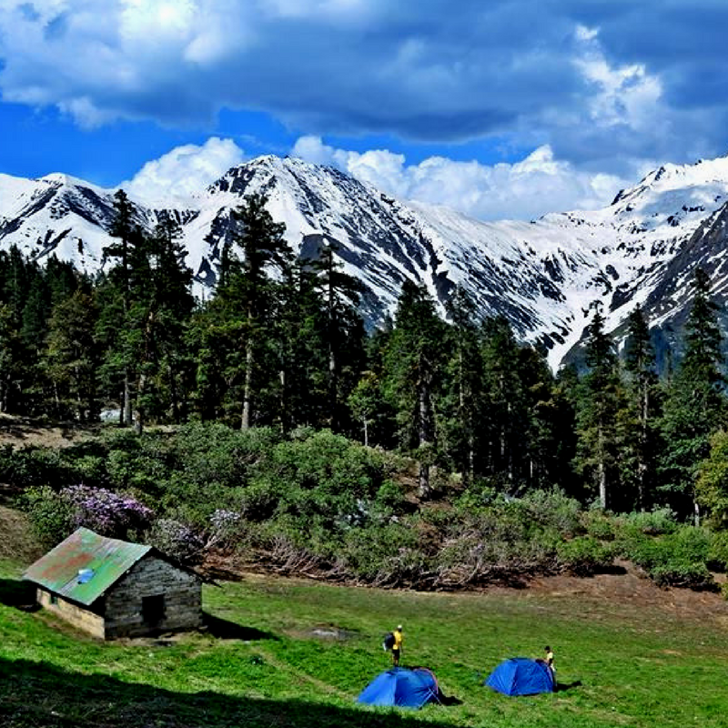
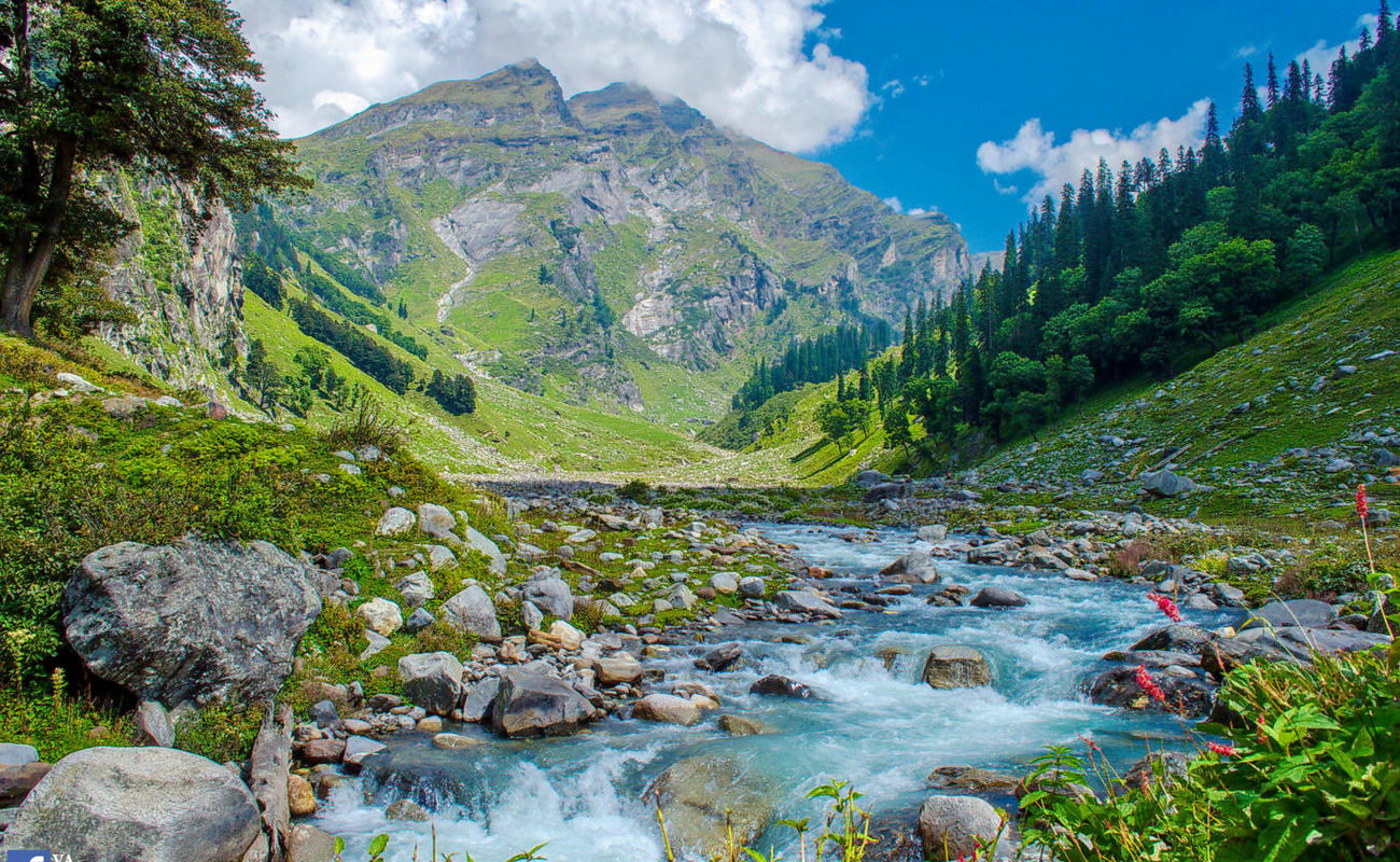
Manali Hamta Pass Trek Kullu

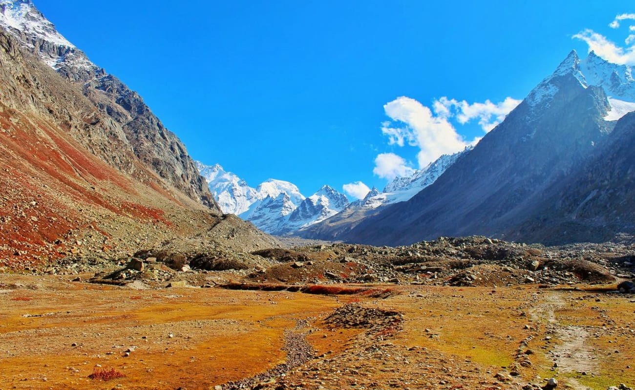
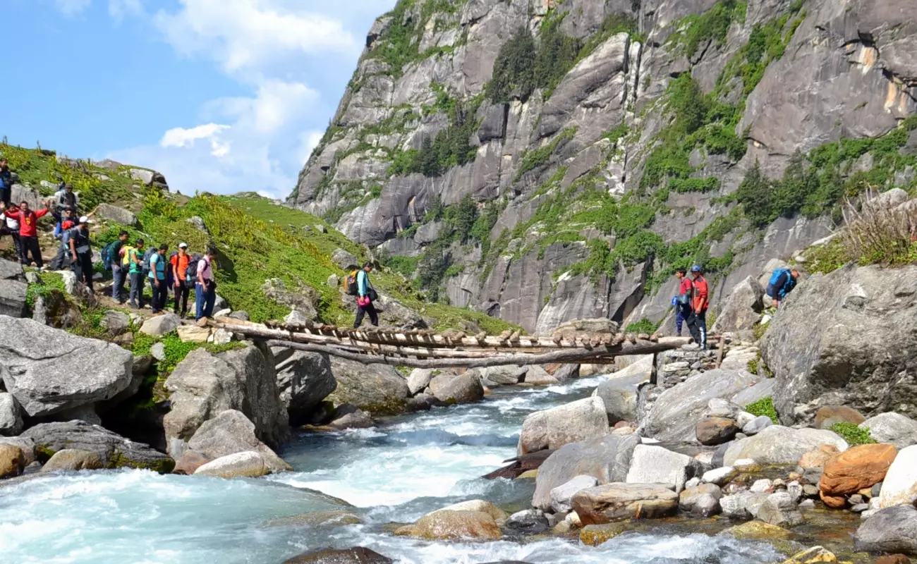
Manali-Hamta Pass (4270m) - Chhatru - A popular excursion and a traditional alternative to Rohtang Pass in days before a road was made over the latter. A guide is recommended as the trail sometimes disappears in vegetation and rocks, while many rushing streams must be forded. Best Period to trek: 10-30June and 10 August to 10 October.

Duration: Maximum - 02 to 03 Days
All the treks of Kullu (Himachal Pradesh India) is connected by 'our coach' with Delhi, Chandigarh, Jammu and Srinagar.

ITINERARY

Day 01:

  • Manali-Prini-Chikka (3000m) 14 km - Bus or taxi to Prini, 3km. The footpath from here goes steeply in forest, for 4km to a potato farm and tea shop. A descent follows for 1km to Settan village, a small Tibetan settlement trends right and downwards for 2km to cross Marasu Nala by a small bridge; renascent to a meadow and shepherds' hunts; good camp ground and firewood is available. Continuing northwards, the path is almost level for 2km along to Jabri. The camp ground is situated immediately beyond the stream; an ideal site with water and firewood. Now go on and upwards for an hour, then down to cross Hamta Nala by a log bridge and reach camp ground. About 8h from Prini.

  • Day 02:

  • Chikka-Balu ka Gera (3520m) 8km - A stiff section of 8h. The trail heads NE; after a level bit of 200m it climbs steadily for 1 km to Area. The tree line ends and the route penetrates rocks and boulders. Aara to to Juara is a steep ascent for 3km involving the crossing of three awkward streams; the last, near Juara, is usually quite difficult to ford. After that the path ascends steeply over a grassy slopes and commonly snow patches to Balu ka Gera camping site. Bears seem to inhabit, or at least visit, this site. The name means place of sand and one camps on the sandy river bank. Inder Kila, a monolith, can be seen to the North East of Hamta Pass ahead.
  • Day 03:

  • Balu ka Gera-Hamta Pass-Chhatru (3360m) 11 km - The 3km, 700m ascent to the pass is steep. At first the path bears NE for an hour to a rocky ridge, then it curves E over scree and lateral snow to the pass in another 2-3h. Deo Tibba and Indrasan are visible along with a wide views of the Lahaul Valley and its scores of peaks. The initial descent on the other side is steep and calls for an ice axe for safety. Turn left traversing a snowy slope, and go down it steeply towards a few boulders, to a flat area suitable for pitching tents. Below, a better path develops to follow the Chhatru Nala which originates from the slopes of Indrasan.